
MARKETS
Survey & UAV
Topographic and cadastral survey, photogrammetry and UAV-based aerial mapping.

You cannot design a corridor you have not measured.
Our survey teams and UAV pilots produce the base data every other discipline works from — topography, services, boundaries and volumes.
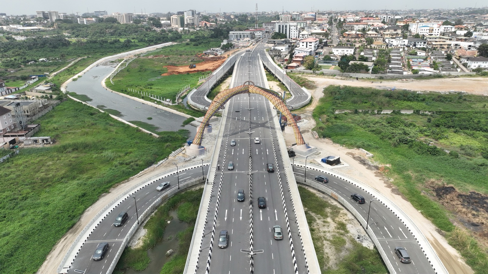
Aerial survey has cut corridor mapping from weeks to days and leaves a visual record that outlasts the project.
What we do in this market
Topographic survey
Ground and aerial survey producing existing-ground models for design.
Cadastral survey
Parcel definition, beacon setting and land acquisition documentation.
UAV photogrammetry
Orthophotos, point clouds and digital terrain models from drone imagery.
GIS delivery
Survey data delivered as GIS layers the client keeps using after handover.
Recent work across AEC
See all projects

Have a project that has to work?
Tell us the constraint you cannot design around, and we will tell you how we would approach it.