

THE GROUP
Advanced Survey & UAV
Land survey, UAV capture and geospatial data for the group and for external clients.
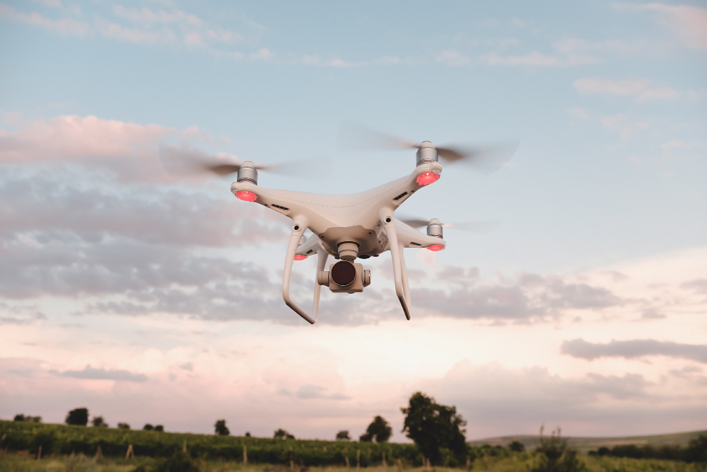
The measuring arm.
Advanced Survey & UAV runs the group’s survey and geospatial capability — land and cadastral survey, UAV fleets carrying LiDAR and high-resolution sensors, photogrammetry, GIS and 3D terrain modelling.
It works both inside the group, providing the base data the engineering teams design on, and directly for external clients.
What they do
Land and cadastral survey
Ground survey, boundary definition and beacon setting.
UAV capture — LiDAR and photogrammetry
Drone fleets producing orthophotos, point clouds and terrain models.
Volumetric and progress survey
Earthworks measurement and construction progress capture.
GIS and 3D terrain modelling
Geospatial datasets, mapping and analysis delivered in client-usable formats.
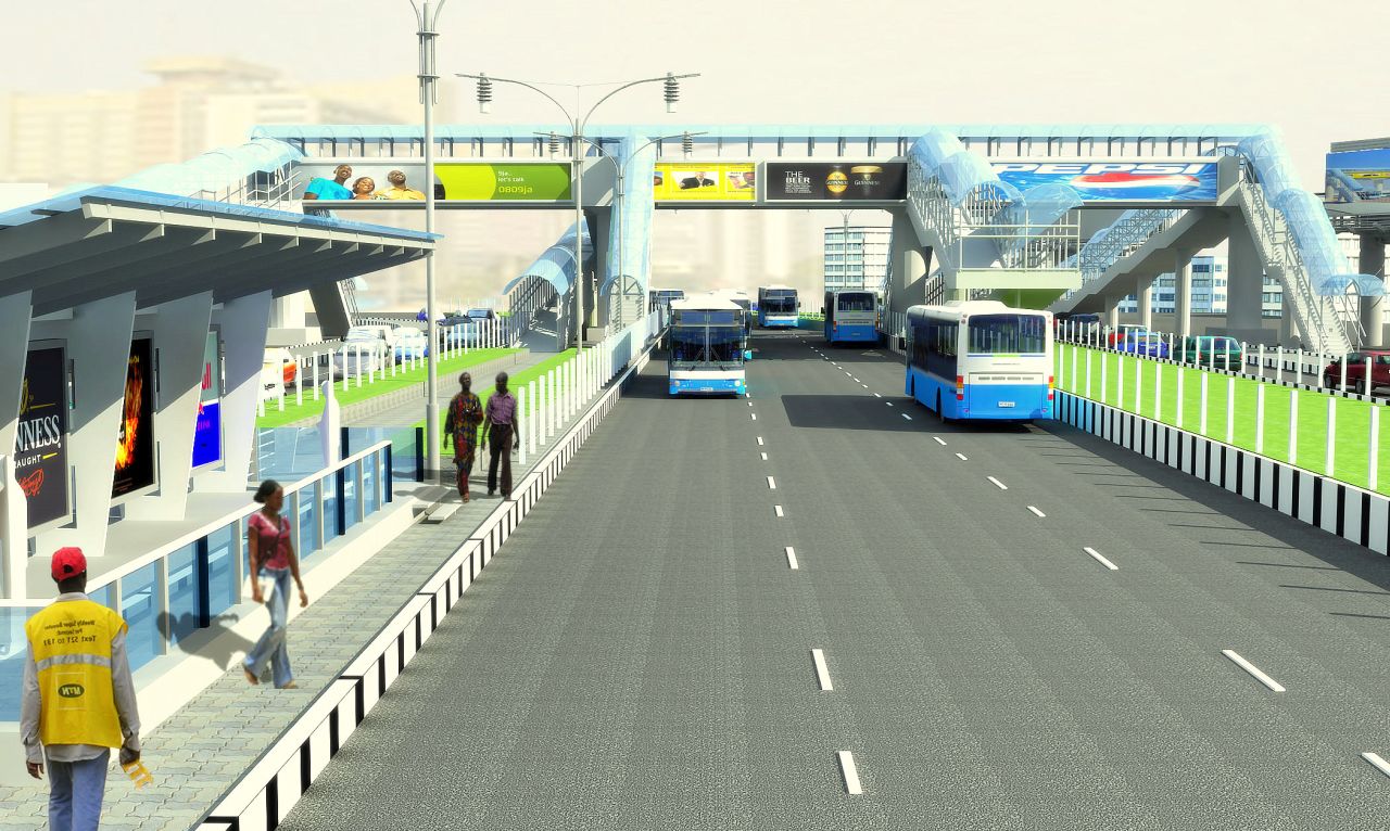
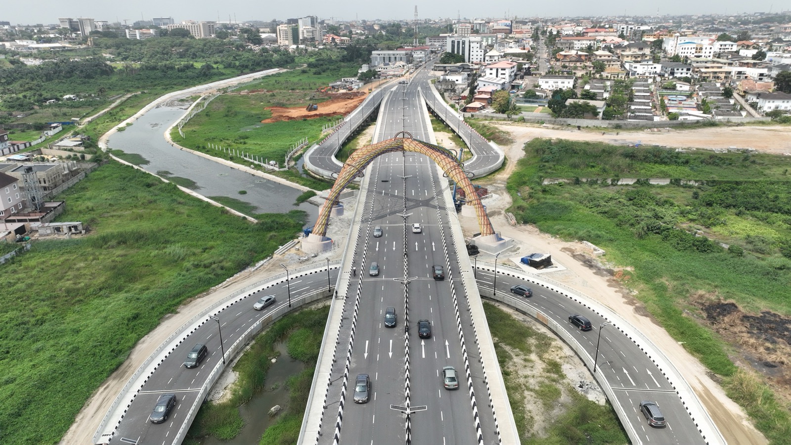
Recent work across AEC
See all projects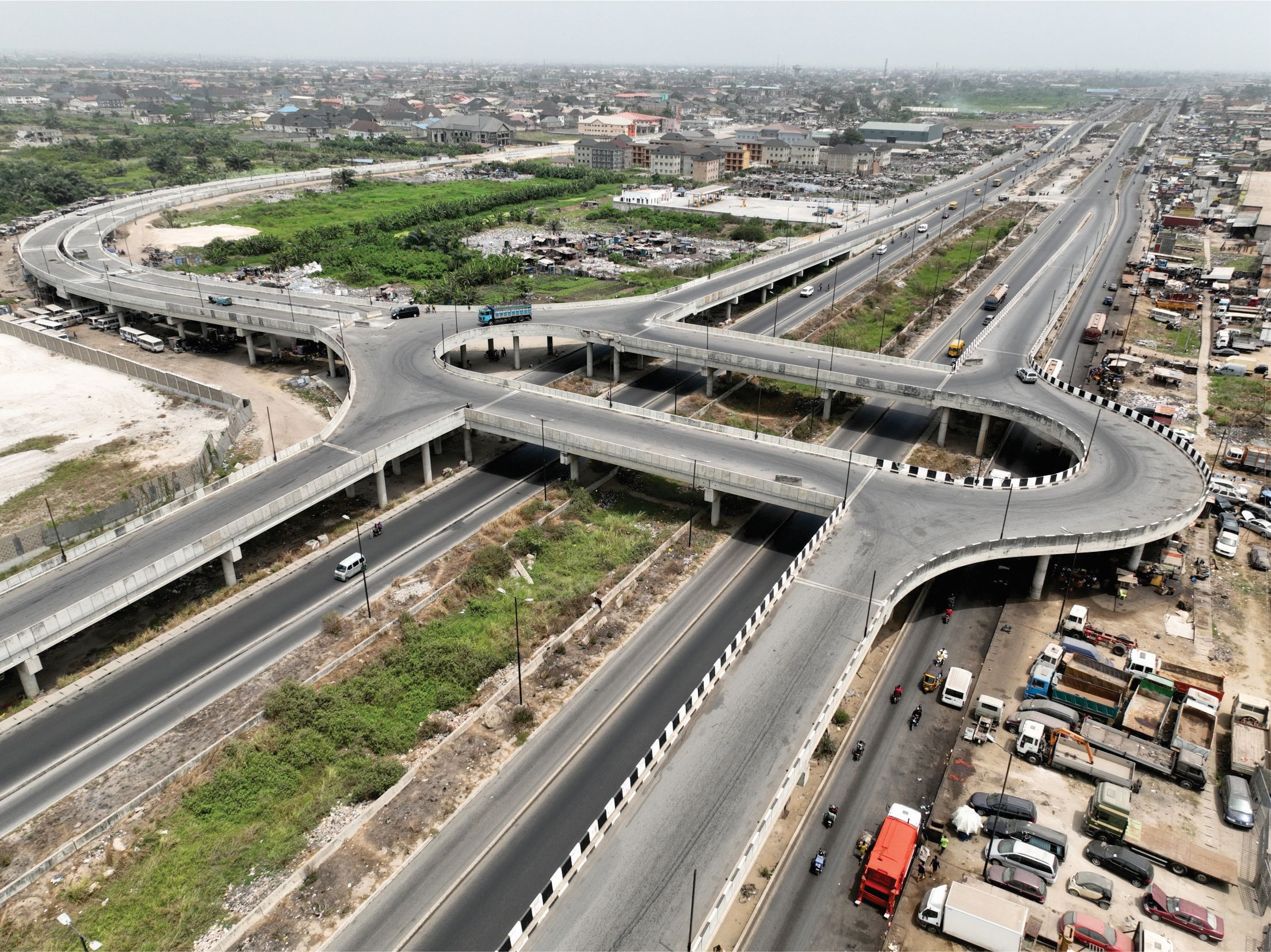
Have a project that has to work?
Tell us the constraint you cannot design around, and we will tell you how we would approach it.