
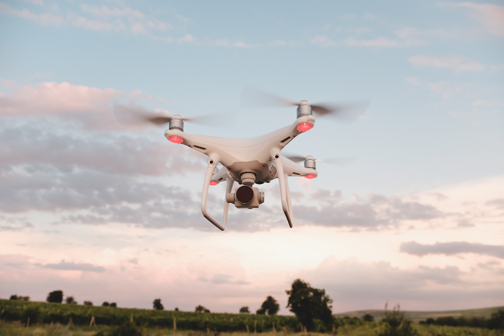
Aerial survey did not just make corridor mapping faster. It changed which risks sit in the price.
A forty-kilometre corridor used to take a ground survey team several weeks, and the deliverable was a set of cross-sections at a chosen interval. Everything between those sections was interpolation.
The deliverable changed before the price did
UAV photogrammetry produces a continuous surface rather than sampled sections. The immediate effect is on earthworks quantities: you are measuring the ground rather than assuming it between chainages, and the variance between design quantity and measured quantity narrows considerably.
That variance was previously carried as risk — by the contractor in the rates, or by the client in the final account. Removing most of it is worth more than the survey costs.
Access and safety
A large part of ground survey cost on a live corridor is working safely in traffic. Aerial capture removes most of that exposure, and it also removes the negotiation involved in surveying land the client does not yet control.
What still needs boots on the ground
Aerial capture cannot see under a canopy, cannot find a buried service, and cannot set a beacon. Control points still have to be surveyed conventionally, and cadastral work is still a ground exercise. The efficient arrangement is aerial for surface and ground for everything the surface hides.